geOrchestra
geOrchestra is a free and Open Source Spatial Data Infrastructure (SDI) software providing a flexible and modular platform for building custom SDI solutions.
Description
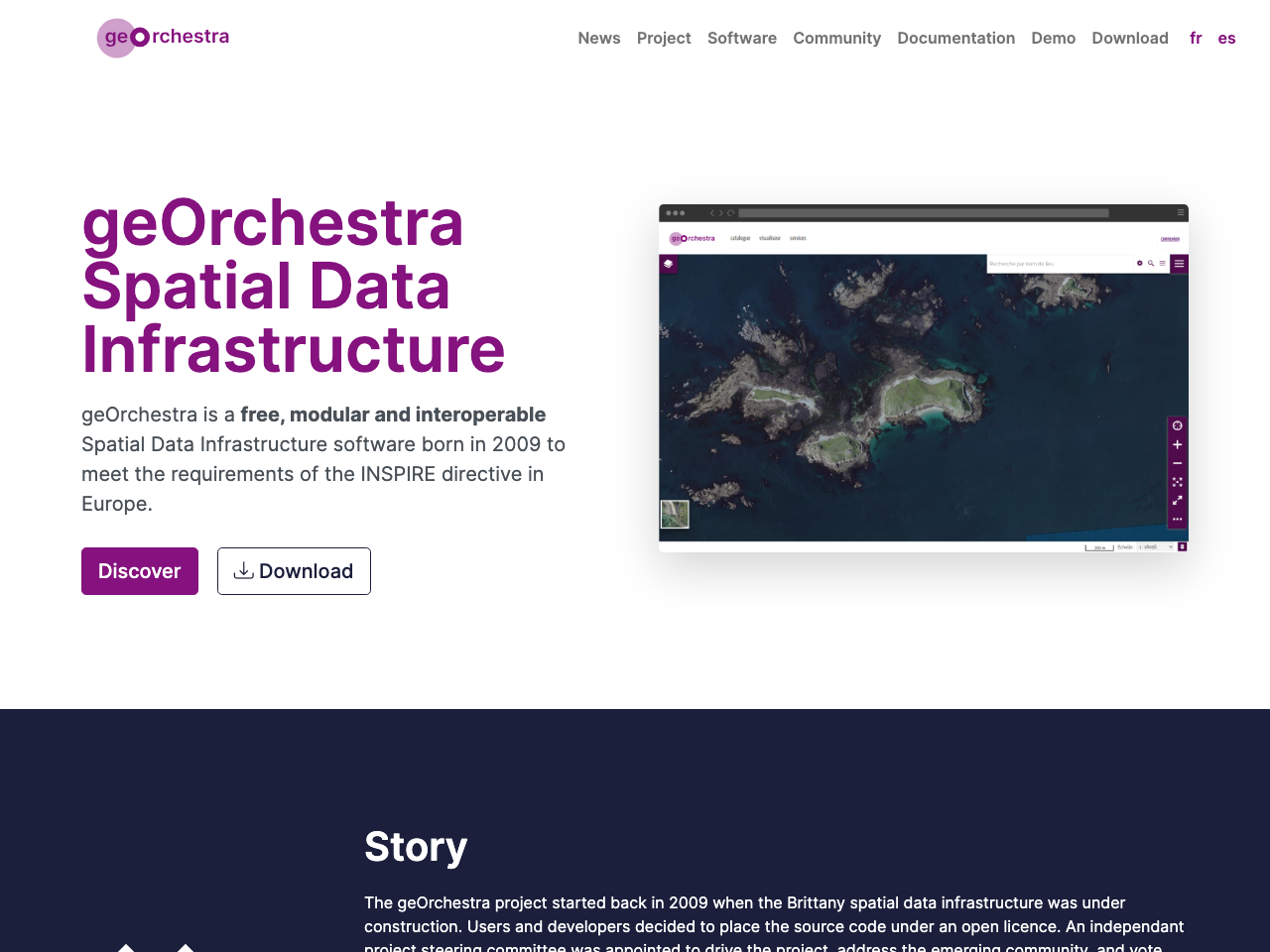
geOrchestra is a free, Open Source, modular, and interoperable Spatial Data Infrastructure (SDI) software. Initially developed in 2009 to meet the requirements of the INSPIRE directive, it has evolved into a flexible platform for building and managing custom SDIs. Its modular design allows users to select and integrate only the components needed for their specific requirements, fostering customization and scalability. geOrchestra boasts a large and active community, ensuring continuous improvement and support. The project is hosted on GitHub, making code readily accessible and contributions easier.
Features
geOrchestra's core features include a secure proxy and single-sign-on authentication system. Its modular architecture comprises independent, interoperable components such as GeoNetwork (data catalog), GeoServer (map and features server), GeoFence (data access control), GeoWebCache (tile server), MapStore (web map viewer), and a console for user and role management. Additional modules offer analytics and data integration capabilities. The platform is highly customizable, allowing users to build SDI solutions tailored to their specific requirements and integrate with existing systems.
Benefits
geOrchestra offers numerous benefits, including reduced costs through Open Source licensing, increased interoperability due to its modular design and adherence to open standards, enhanced data accessibility and sharing capabilities, streamlined data management workflows, and a robust community providing ongoing support and development. Its customizability enables organizations to tailor their SDI to precise needs, optimizing resource utilization and improving decision-making processes. The platform's scalability ensures it can adapt to the growing demands of modern spatial data management.
Links
- Open Source
- ✅
- European
- ❌