JawgMaps
JawgMaps is an interactive mapping platform providing mapping, geocoding, routing, elevation data, and GIS solutions for websites and mobile apps.
Description
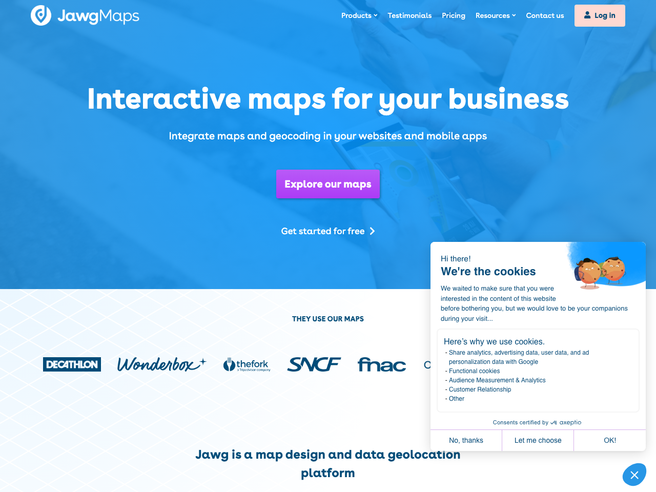
JawgMaps is a comprehensive mapping platform offering various tools for website and mobile app integration. It provides mapping services, geocoding for precise location identification, and routing capabilities to calculate distances and directions. The platform also offers elevation profile data and a GIS solution for managing geographic data. JawgMaps boasts a customizable map style library and supports multiple SDKs, ensuring flexibility for developers. Its services are web and mobile-friendly, providing a seamless experience across different devices. The platform is also Open Source friendly, making it accessible to a broader range of developers and projects.
Features
Interactive maps with customizable styles. Precise geocoding to find locations. Routing to compute distances and directions. Elevation profile data for height analysis. Geographic Information System (GIS) for data management. Web and mobile-friendly interface for various devices. Open Source friendly, supporting various SDKs. Extensive documentation and community support.
Benefits
Improved user experience with interactive and customizable maps. Precise location identification through geocoding. Efficient route calculation and distance measurement using routing. Access to elevation data for enhanced geographic visualization. Flexible GIS solution for organizing and styling geographic data. Seamless integration with various websites and mobile applications. Support for diverse SDKs for developer convenience. Open Source friendly, ensuring wide accessibility and community support.
Links
- Home: https://www.jawg.io/en/
- Source code: https://github.com/jawg
- Open Source
- ✅
- European
- ✅
- Country
- FR
- Source code
- https://github.com/jawg