PostGIS
PostGIS is a spatial extension for PostgreSQL enabling storage, querying, and analysis of geographic data.
Description
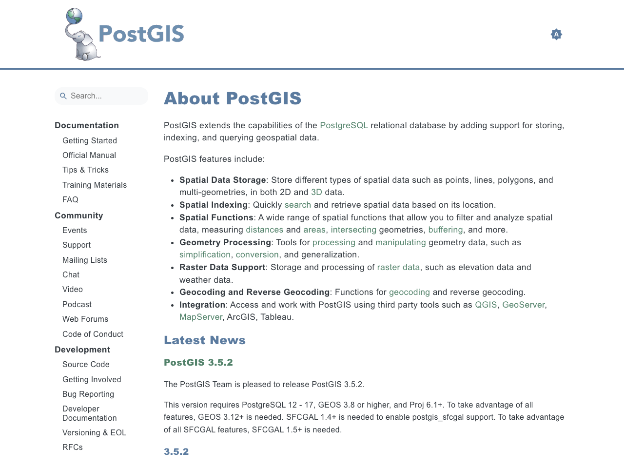
PostGIS is a powerful spatial extension for the PostgreSQL relational database system. It allows users to store, query, and analyze geospatial data, including points, lines, polygons, and raster data in both 2D and 3D formats. PostGIS provides a comprehensive suite of spatial functions for tasks such as measuring distances, calculating areas, performing geometric operations, and managing spatial indexes. Its robust capabilities enable efficient processing and analysis of geographic information, making it a crucial tool for various geospatial applications. PostGIS integrates seamlessly with other GIS tools such as QGIS, GeoServer, and MapServer, enhancing its versatility and usability across diverse workflows. A wide range of documentation, community support, and active development ensures its ongoing evolution and relevance in the geospatial domain.
Features
PostGIS boasts several key features that enable efficient geospatial data management and analysis. These include robust spatial data storage for various geometries (points, lines, polygons, etc.) in 2D and 3D. Spatial indexing provides fast searching and retrieval. A wide array of spatial functions supports diverse analysis tasks, such as distance calculation, area measurement, geometric operations, and more. The ability to process and manage raster data is also a core feature. PostGIS offers functions for geocoding and reverse geocoding. Furthermore, the extension seamlessly integrates with various GIS tools, boosting interoperability and workflow efficiency. Its Open Source nature fosters collaboration and continuous improvement.
Benefits
PostGIS offers significant benefits by enabling efficient storage and retrieval of spatial data. Its spatial functions and indexing facilitate rapid analysis of geographic information. The integration with popular GIS software simplifies workflows. The extensive documentation and active community support ensures ease of use and problem-solving. It is an Open Source solution, providing cost-effectiveness and flexibility for various applications. PostGIS's 2D and 3D capabilities extend its applicability to a wider range of geospatial problems. The ability to process raster data provides expanded analytical options. This leads to improved decision-making, enhanced spatial analysis capabilities, and cost savings through streamlined operations. Regular updates and community contributions enhance functionality and long-term stability.
Links
- Home: https://postgis.net/
- Open Source
- ✅
- European
- ❌
- Home
- https://postgis.net/
- SILL details
- https://code.gouv.fr/sill/detail?name=PostGIS
